Introduction to Drone Applications in Cotton Farming
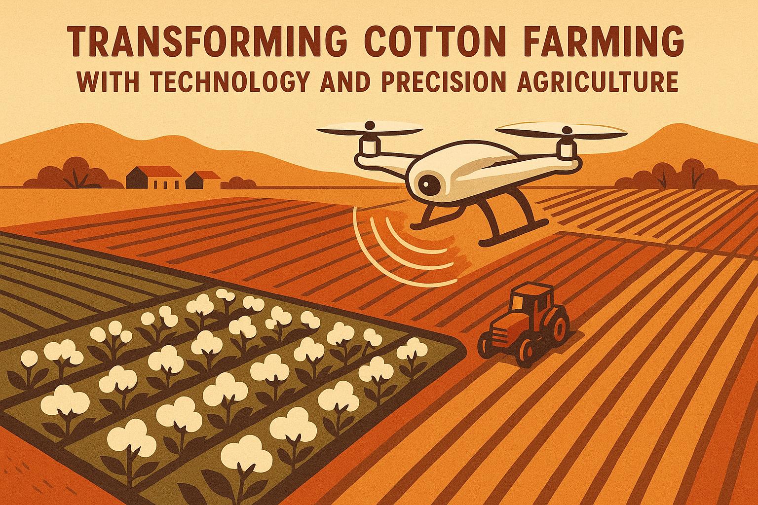
As a seasoned cotton farmer with over a decade in the field, you know that every decision—from planting to harvest—impacts your bottom line. In an era where margins are tight and environmental pressures mount, drone applications in cotton farming offer a game-changing edge. These unmanned aerial vehicles (UAVs) aren't just gadgets; they're precision tools that deliver real-time data to optimize yields, reduce inputs, and streamline operations.
Gone are the days of walking fields endlessly or relying solely on ground scouts. Drones equipped with advanced sensors can cover hundreds of acres in hours, providing insights that help you address issues before they escalate. According to industry benchmarks, farms integrating drone applications in cotton farming have reported up to 15% improvements in yield efficiency through targeted interventions. This guide dives deep into practical, in-depth strategies for leveraging drones, assuming you're familiar with basics like variable-rate technology and integrated pest management. We'll focus on advanced techniques to enhance your operation's productivity and sustainability.
For more on related efficiencies, check out our post on Integrated Pest Management in Cotton Farming for complementary scouting methods.
Understanding Drone Hardware for Cotton-Specific Needs
Selecting the right drone is crucial for effective drone applications in cotton farming. Seasoned growers prioritize models with multispectral cameras, thermal imaging, and high-resolution RGB sensors. These features allow for detailed analysis of plant health, soil variability, and water stress—key factors in cotton's sensitive growth cycle.
- Multispectral Sensors: These capture data across visible and near-infrared spectrums, enabling normalized difference vegetation index (NDVI) mapping. In cotton, NDVI helps detect early nutrient deficiencies, such as nitrogen shortfalls that can reduce boll set by 10-20%. Look for drones like the DJI Phantom 4 Multispectral, which processes data in-flight for immediate field decisions.
- Thermal Cameras: Essential for identifying irrigation inconsistencies. Cotton plants under heat stress show elevated temperatures; drones spot these hotspots, allowing you to adjust pivot systems precisely and save water—potentially cutting usage by 25% in variable soils.
- LiDAR Integration: For topography mapping, LiDAR-equipped drones (e.g., Matrice 300 series) create 3D elevation models. This is invaluable in undulating cotton fields, where it informs drainage plans to prevent waterlogging, a common yield robber in heavy clay soils.
When calibrating your drone, always factor in cotton's canopy density. Fly at 100-200 feet altitude for optimal resolution, and schedule flights during midday for consistent lighting. Maintenance tip: Regularly clean sensors to avoid data artifacts from dust, a frequent issue in windy cotton belts.
Data Collection Strategies: Beyond Basic Scouting
Drone applications in cotton farming shine in data-driven scouting, but advanced users layer multiple flights for comprehensive insights. Start with a baseline survey post-emergence to map stand establishment, then follow with bi-weekly missions during squaring and boll development.
- Pest and Disease Detection: Use RGB and multispectral imagery to identify aphid hotspots or fusarium wilt patterns. Algorithms in software like Pix4D can flag anomalies with 90% accuracy, far surpassing manual walks. For instance, thermal data reveals cooler areas indicative of root-knot nematode infestations, allowing spot treatments that minimize chemical use.
- Nutrient Mapping: Generate prescription maps for variable-rate fertilizer applications. In cotton, this targets phosphorus and potassium deficiencies in sandy loams, boosting nutrient uptake efficiency by 20%. Integrate drone data with soil samples for hybrid models that predict boll retention rates.
- Weed Pressure Assessment: Drones with AI-powered object detection differentiate broadleaf weeds from cotton rows. This enables targeted herbicide applications, reducing overall spray volumes by 30-40% and curbing resistance development—a growing concern for glyphosate-tolerant varieties.
To maximize value, synchronize drone flights with growth stages: early season for emergence uniformity, mid-season for vigor assessment, and late for defoliation readiness. Always cross-reference drone data with ground truthing; while accurate, UAVs can misinterpret shadows in tall cotton canopies.
Software and Analytics: Turning Data into Actionable Insights
Raw drone footage is useless without robust analysis. Advanced drone applications in cotton farming rely on platforms that process imagery into prescriptive recommendations.
-
Key Software Options:
- DroneDeploy: User-friendly for mapping and 3D modeling. Its plant health tools calculate vegetation indices like NDVI and VARI, correlating them to cotton yield potential. Export maps directly to John Deere Operations Center for seamless variable-rate implementation.
- Pix4Dfields: Tailored for agriculture, it offers instant field reports with zone management. In cotton, use it to quantify defoliation efficacy, ensuring uniform maturity for harvest.
- AgEagle or Sentera: These integrate machine learning for predictive analytics, forecasting yield drops from stress events with 85% precision based on historical data.
Incorporate GIS integration to overlay drone maps with historical yield data. This reveals long-term patterns, like recurring low spots in fields, guiding decisions on cover crops or subsoiling. For efficiency, automate workflows: Set up API connections to pull weather data, triggering alerts for optimal flight windows.
Challenges include data overload—focus on 2-3 key metrics per flight to avoid analysis paralysis. Seasoned farmers often customize dashboards to prioritize cotton-specific indicators, such as boll density estimates.
Integrating Drones with Other Precision Ag Tools
To elevate drone applications in cotton farming, combine UAVs with ground-based tech for a holistic system.
- Synergy with Soil Sensors: Pair drone NDVI maps with in-soil probes for moisture and EC levels. This hybrid approach fine-tunes irrigation scheduling, preventing overwatering that exacerbates verticillium wilt.
- Variable-Rate Tech (VRT): Drone-derived prescription maps feed directly into VRT spreaders or sprayers. In cotton, this optimizes starter fertilizer placement, enhancing germination in cooler springs and potentially increasing stands by 10%.
- IoT and AI Integration: Connect drones to farm IoT networks for real-time monitoring. AI models predict pest outbreaks by analyzing drone imagery alongside satellite data, allowing preemptive actions that save 15-20% on inputs.
Case in point: Farms using drone-VRT combos report 12% higher lint yields in variable fields. Ensure compatibility—most modern tractors support ISOXML formats for drone map imports.
Regulatory Compliance and Safety in Drone Operations
Navigating regulations is non-negotiable for drone applications in cotton farming. In the U.S., FAA Part 107 certification is required for commercial use—study up on airspace restrictions, especially near airports in rural cotton areas.
-
Best Practices for Safety:
- Conduct pre-flight checks: Battery levels, propeller integrity, and GPS calibration.
- Maintain visual line-of-sight (VLOS) or use waivers for beyond-visual operations in large fields.
- Log flights meticulously for insurance purposes; many policies now cover drone-related crop damage.
Privacy concerns arise when flying over neighboring properties—obtain permissions and use encrypted data storage. Environmental impact: Opt for electric drones to minimize emissions, aligning with sustainable cotton initiatives.
Training your team? Start with simulator apps before field deployment to build proficiency.
Cost-Benefit Analysis: Is It Worth the Investment?
For seasoned growers, the ROI of drone applications in cotton farming is clear but requires upfront calculation. Entry-level drones cost $1,000-$5,000, with advanced models reaching $20,000+. Software subscriptions add $500-$2,000 annually.
-
Breakdown of Benefits:
- Input Savings: Reduced fertilizer and pesticide use can save $50-$100 per acre.
- Yield Gains: Early issue detection boosts output by 5-15%, translating to $100-$300/acre in lint value at current prices.
- Time Efficiency: Scouting time drops from days to hours, freeing labor for other tasks.
A typical 1,000-acre operation might recoup costs in 1-2 seasons through efficiencies. Factor in scalability: Start small with one drone for pilot fields, then expand based on data.
Challenges: Initial learning curve and weather dependencies (avoid high winds). Mitigate by partnering with ag drone service providers for hybrid ownership models.
Overcoming Common Challenges in Drone Adoption
Even experienced farmers face hurdles with drone applications in cotton farming. Data accuracy can falter in humid conditions common to cotton regions—calibrate sensors frequently.
- Battery and Range Limitations: Multi-battery setups extend flight times; plan grid patterns to cover fields efficiently.
- Integration Barriers: If your farm management software lacks drone compatibility, upgrade to platforms like Climate FieldView.
- Skill Gaps: Invest in certifications and ongoing training; online courses from extension services cover cotton-specific applications.
Pro tip: Join farmer networks or forums to share drone insights, accelerating your learning.
Future Innovations in Drone Tech for Cotton
Looking ahead, drone applications in cotton farming will evolve with AI and autonomy. Swarm drones could scout collaboratively, covering vast acres faster. Hyperspectral imaging will detect micronutrient issues invisible to current sensors.
Edge computing will enable on-drone processing, reducing latency for instant decisions. Regulatory shifts may allow fully autonomous operations, revolutionizing large-scale cotton management.
Stay ahead by monitoring ag tech conferences and extension updates.
Actionable Takeaways for Your Cotton Operation
Implementing drone applications in cotton farming demands a strategy, but the payoffs in yield and efficiency are substantial. Here's how to get started:
- Assess Your Needs: Audit fields for variability; prioritize drones if scouting inefficiencies persist.
- Invest Wisely: Choose hardware matching your scale; start with multispectral for core cotton health monitoring.
- Build Workflows: Schedule flights aligned with growth stages; integrate data into existing VRT systems.
- Measure ROI: Track metrics like input reductions and yield lifts post-adoption.
- Scale Gradually: Pilot on 20% of acres, then expand with proven results.
By mastering these techniques, you'll position your farm for long-term success. For more on sustainability, link to our Improving Soil Health in Cotton Farming.
In summary, drone applications in cotton farming empower you to farm smarter, not harder. Embrace this technology to tackle challenges head-on and boost your operation's resilience.


